
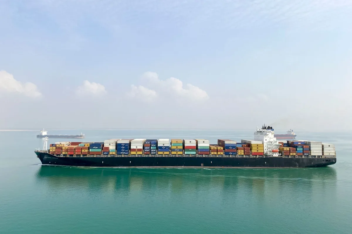
Bab el Mandeb Strait Explained: Why This Chokepoint Matters
What is Bab el Mandeb, and why does a strip of water less than 20 miles wide make oil traders, shipowners and seafarers watch the news every morning? Bab el Mandeb is the narrow strait between Yemen and the Horn of Africa that connects the Red Sea to the Gulf of Aden. Every ship that uses the Suez Canal route between Asia and Europe must pass through it. In October 2026, it is also the place where a regional war meets world trade.
Status note: this explainer reflects verified reporting up to 17 October 2026. Security details here change fast, so check the latest UKMTO and JMIC notices before any voyage decision.
What Is Bab el Mandeb? Meaning and Location
The strait lies at the southern end of the Red Sea. Yemen sits on its northeast side. Djibouti and Eritrea sit on its southwest side. South of the strait, the water opens into the Gulf of Aden and then the Arabian Sea and the Indian Ocean.
The size depends on who measures it. The US Energy Information Administration (EIA) puts the narrowest point at about 18 miles (29 km). Other sources round it to 20 miles (32 km). The strait runs roughly 70 miles (112 km) in length.
Perim Island, also called Mayyun, sits near the Yemeni side and splits the strait into two channels. The EIA describes the shipping lanes as two channels about 2 miles wide each, one for inbound ships and one for outbound. Windward, a maritime intelligence firm, notes that the wider western channel carries most commercial traffic.
Bab el Mandeb Map in Words
If you picture a map, start at the Suez Canal in Egypt and follow the Red Sea south. The sea narrows until it reaches the strait. Yemen’s coast, including the port of Mocha (Mokha), lies to the east. Eritrea’s port of Assab and the nation of Djibouti lie to the west. Past the strait, ships enter the Gulf of Aden, which leads to the Arabian Sea. Our guide on where the Suez Canal is shows the northern half of this same route.
Key Facts at a Glance
| Fact | Detail |
|---|---|
| Connects | Red Sea and Gulf of Aden |
| Bordering countries | Yemen, Djibouti, Eritrea |
| Width at narrowest point | About 18 to 20 miles |
| Length | About 70 miles |
| Shipping channels | Two, divided by Perim (Mayyun) Island |
| Oil flow | Estimates range from about 6 to nearly 9 million barrels a day, depending on year and source |
| Share of seaborne oil | Around one tenth, according to Britannica and EIA |
Why Is It Called the Gate of Tears?
The Arabic name Bab al Mandab translates as the Gate of Tears, or Gate of Grief. Historians and maritime sources link the name to the dangers sailors faced here for centuries, including strong currents, reefs and shallow water, which caused many wrecks. Modern charts and satellite navigation have reduced the natural risks. The man made risks are a different story, as the next sections show.
Why Is the Bab el Mandeb Strait Important?
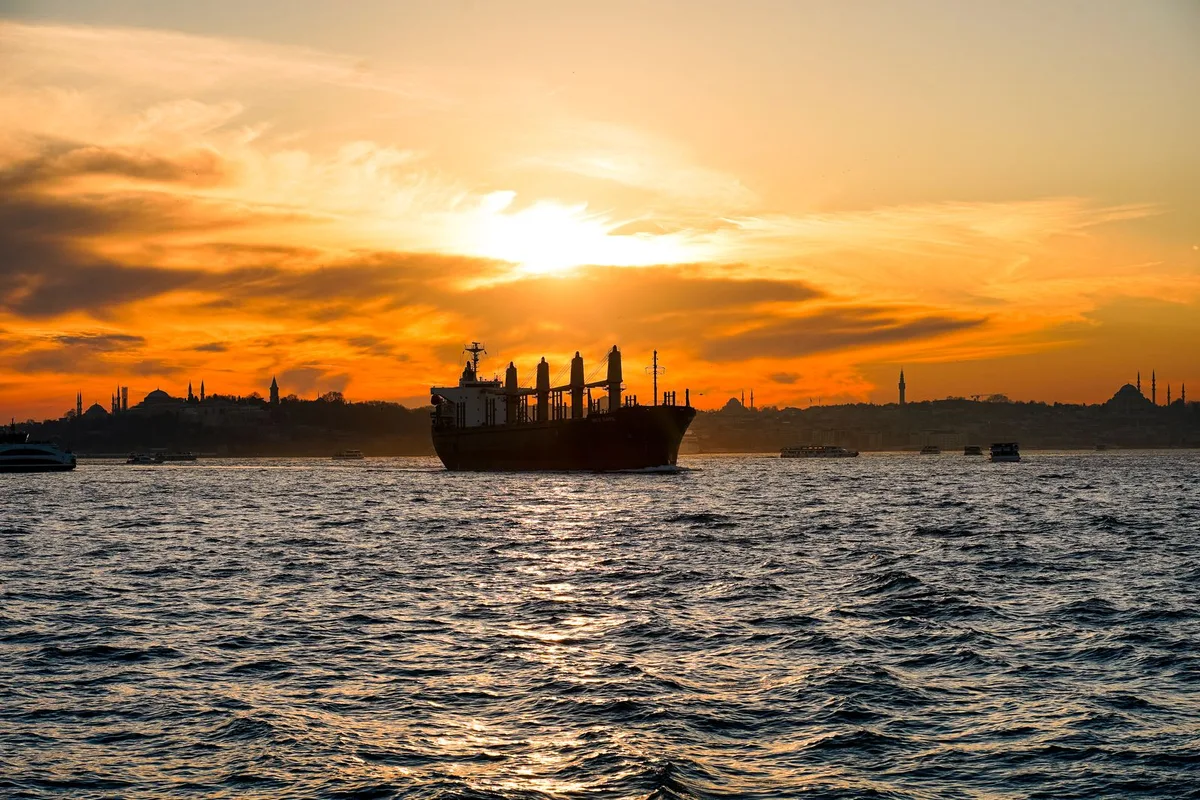
The strait matters because it has no practical bypass for ships that want the shortest route between Asia and Europe. Britannica ranks it as the world’s third busiest oil chokepoint, after the Strait of Malacca and the Strait of Hormuz.
Three things flow through it: Oil and fuel. Tankers carry crude and refined products from the Gulf to Europe, and from Atlantic basin suppliers toward Asia. The EIA estimated that about 6.2 million barrels a day moved through it in 2018, roughly 9% of seaborne petroleum in 2017. Containers. Windward reports that around 30% of global container traffic has historically used the Red Sea corridor. LNG. Liquefied natural gas cargoes also use the route, though flows changed as Egypt produced more of its own gas.
The strait is also a gateway. Even if the Suez Canal is open, a ship cannot reach it from the south without first passing here. Egypt, Saudi Arabia and Jordan all have Red Sea ports that depend on this exit, and Saudi Arabia’s Yanbu terminal has grown more important in 2026 because of the disruption around the Strait of Hormuz.
How Much Does the Cape of Good Hope Detour Cost?
When ships avoid the Red Sea, they sail around Africa. Britannica gives a clear example. A voyage from Dalian, China, to Rotterdam, the Netherlands, covers about 11,000 nautical miles in roughly 48 days via the Suez Canal. Around the Cape of Good Hope, it covers about 14,500 nautical miles in about 57 days. That is 3,500 extra miles and nine extra days on one trip.
Those extra days mean more fuel, more crew costs, higher charter bills and later deliveries. Exact costs vary by ship size, speed and fuel price, so no single figure fits every voyage. Insurers also add war risk premiums when ships enter threatened waters.
A Short History of Conflict at the Strait
1869. The Suez Canal opened and turned the strait into a main gateway between the Mediterranean and the Indian Ocean.
1973. During the Yom Kippur War, Egyptian and South Yemeni forces blocked Israel bound shipping for about six weeks, according to Windward.
1995 to 1999. Eritrea and Yemen fought over the Hanish Islands near the shipping lanes. An arbitration court awarded most of the archipelago to Yemen in 1998.
2000 and 2002. Attacks on the USS Cole in Aden and the French tanker Limburg off Yemen showed that small boat attacks could hit major targets.
Late 2000s and early 2010s. Somali piracy in the Gulf of Aden led to major naval patrols. Several countries built bases in Djibouti, including the US, France, Japan, Italy and China.
November 2023 to 2025. After the Israel and Hamas war began, Houthi forces attacked commercial ships with missiles, drones and boats, and seized the vessel Galaxy Leader. The US led Operation Prosperity Guardian and the EU launched Operation Aspides. Houthi attacks on shipping paused after the Gaza ceasefire took effect on 10 October 2025, and some carriers, including Maersk, began returning to the Red Sea.
Bab el Mandeb in 2026: What Is Happening Now
The calm did not last. A wider war began on 28 February 2026, when the US and Israel struck Iran. Shipping through the Strait of Hormuz was disrupted, which pushed more oil and attention toward the Red Sea. Here is the timeline of what followed, based on reporting from ACLED, CBS News, Al Monitor, CNBC and Gulf News.
| Date | What happened |
|---|---|
| 20 July | Houthis declared a naval blockade of Saudi Arabian ports |
| 4 August | The vessel MSV Faize Noore Oliya was sunk, according to ACLED |
| 11 August | Four crew were killed aboard the vessel Tihama, according to ACLED |
| 24 August | The last corroborated attack on a ship before ACLED’s 1 October report |
| 3 to 13 September | Houthi forces advanced along the Yemeni coast and seized Mocha and Perim (Mayyun) Island |
| September | Hapag-Lloyd and Maersk moved some Gemini services from the Cape route back to the Red Sea |
| 4 October | UKMTO reported multiple explosions near a tanker south of Mocha in the strait, with the crew safe |
| 5 to 6 October | Yemen’s government said it launched an offensive and retook ground near the strait; the Houthis denied it |
Who Controls the Coast?
Right now, nobody outside the fighting can say for certain. ACLED reported that the Houthis advanced about 150 km along the Red Sea coast in a week and reached the strait. In early October, Yemen’s military claimed it had retaken the area around Mocha and the strait. The Houthis said they hold all their gains. CBS News noted that both claims were impossible to verify independently. A Gulf News analysis made one useful point: the Houthis may not need to control the water itself. Missile range and a nearby coast are enough to make each transit a calculated risk.
Which Ships Are Being Targeted?
So far, mostly ships linked to Saudi Arabia. ACLED counted 10 commercial vessels attacked since the July blockade announcement, mostly tankers, with at least six struck. Seven of the ten flew a Saudi flag or belonged to a Saudi company. The Houthis say other ships can pass freely if their governments stay out of the conflict, and a senior Houthi diplomat has said the group does not intend to shut down Red Sea shipping, according to Al Monitor.
The catch is the word ‘linked.’ ACLED warns that ownership, management, cargo, port calls and business ties can all create a Saudi connection, and the Houthis can widen their criteria at any time.
What Are Shipping Lines Doing?
They are mixed and careful. Hapag-Lloyd has confirmed a fourth Gemini service, SE1, will sail westbound from Tanjung Pelepas on 27 October through the Suez route. Both carriers say every voyage stays subject to security review. Other lines still avoid the area. One Gulf News analysis says Suez Canal traffic has roughly halved since the 2023 and 2024 attacks and has not fully recovered. That figure comes from an opinion analysis rather than official canal statistics, so treat it as an estimate.
What About Oil?
Kpler data cited by Gulf News show Saudi crude passing through the strait fell from about 3.5 million barrels a day in early July to near zero by August, as tankers took other routes. Brent crude rose above $105 when Mocha fell and slipped back under $100 on 6 October, according to CBS News. Prices move daily, so read these as snapshots. Kpler also said about 40% of Middle East oil now bypasses Hormuz, partly through pipelines to Red Sea ports, which is why this strait matters even more.
What Could Happen Next?
ACLED’s base case is that the Houthis keep most of their September gains over the next three months, with fighting continuing. For shipping, that means a persistent threat rather than constant disruption: traffic continues, with higher insurance, security and rerouting costs. A wider campaign against all shipping, direct foreign military intervention, or a diplomatic deal that restores some restraint are all possible, though ACLED rates direct intervention and a deal as less likely in the near term. No analyst can promise which path will win, so the safest planning assumption is uncertainty.
What It Means for Seafarers and Shipowners
If you work at sea, this is practical, not just political. Check your company’s current risk assessment before any transit and follow its voyage instructions. Use official sources such as UKMTO and JMIC for live warnings, and report suspicious activity right away. Review your contract. Many collective agreements give extra pay and, in some cases, a right to refuse sailing when a ship enters a designated warlike operations area. Whether the Red Sea and Gulf of Aden count depends on the current designation, so ask your employer or union rather than assuming. Expect GPS interference and heavy radio traffic in the region, as Windward notes. Shipowners should also confirm war risk cover, crew welfare plans and cargo owner agreements before committing a vessel.
FAQ
What does Bab el Mandeb mean? Bab el Mandeb is Arabic for Gate of Tears, sometimes translated as Gate of Grief. The name reflects the strait’s long record of shipwrecks caused by currents, reefs and hazardous waters.
Where is the strait located and how wide is it? It lies between Yemen on the Arabian Peninsula and Djibouti and Eritrea in Africa, linking the Red Sea to the Gulf of Aden. The EIA gives its narrowest width as about 18 miles (29 km).
Is the strait open to ships right now? As of mid October 2026, it has not been closed, and some major carriers are sending ships through. Risk is still high, with attacks focused on ships linked to Saudi Arabia, a tanker incident reported on 4 October and rival claims over who holds the coast.
What happens to world trade if it closes? Ships must sail around the Cape of Good Hope instead. On Britannica’s Dalian to Rotterdam example, that adds about 3,500 nautical miles and nine days, plus higher fuel, freight and insurance costs.
Final Word
The strait is small, but the stakes are huge. It links Asia and Europe, carries a large slice of the world’s oil and cargo, and now sits beside an active war. Watch official maritime notices, treat every claim about who holds the coast with care, and for more global shipping coverage, stay with MarineOar.
One Comment
Comments are closed.